Drone Service Providers, sound familiar?
Join SkyFlow Atlas Drone Service Network and list on the map, completely free.
List Your Business.
Get Found by AI.
Grow for Free.
No website needed. Create your provider profile in minutes and let our AI connect you with seekers who need exactly what you offer. Your fleet, your certifications, your service areas, all on Canada's drone map.
Why Providers Choose Atlas
One Platform. Built for Canadian Operators.
We handle the visibility, the invoicing, and the security so you can focus on what you do best: flying.
Found by AI, Not Just Search
Seekers describe what they need in plain language. Our AI matches them to you based on location, fleet, and capabilities. No SEO tricks needed on your end.
SEO Handled by Our PR Team
Our editorial and PR team actively promotes Atlas listings through search engine optimization, industry articles, and social media. You focus on flying, we handle visibility.
Professional Invoice System
Generate, send, and track drone-job invoices directly through the platform. Professional templates, payment tracking, and exportable records for your accounting.
Your Data Stays Yours
End-to-end encryption protects your account. Even our own staff cannot access your data. We never sell, share, or monetize provider information. Period.
reCAPTCHA & Abuse Protection
Every form and login is protected by Google reCAPTCHA. Automated abuse, spam requests, and bot scraping are blocked before they reach you.
Built by Canadians, for Canadians
Atlas is built by passionate engineers across Canada who understand the drone industry. No venture capital agenda. Just useful tools for real operators.
Create Your Listing
From sign-up to going live in four steps.
Sign Up and Fill Your Profile
Create a verified provider account and complete your business profile.
Guided Setup
Step-by-step form. Save progress anytime.
Verification Ready
Upload certificates and insurance for the Verified badge.
Multi-Category
Select all categories. Appear in every relevant search.
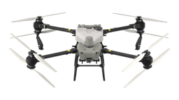
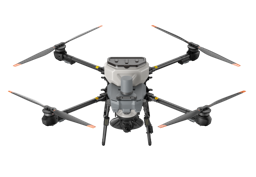
Add Your Fleet & Equipment
Link drone models and payload sensors from the SkyFlow catalog.
Product Database
Browse and link aircraft with full specs auto-filled.
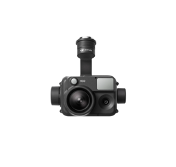
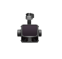
Payload Sensors
Attach cameras, LiDAR, and thermal sensors to each aircraft.
Certifications
Display licenses and insurance alongside your fleet.

Define Your Service Areas
Draw coverage zones with radius, polygon, or district tools.
Radius Mode
Pin + radius from 5 to 125 km.
Polygon Mode
Custom boundary for non-circular coverage.
District Mode
Entire provinces or districts, auto-loaded.
Submit and Go Live
Our team reviews your listing within 48 hours. Then you're live.
Fast Review
48-hour turnaround with email notification.
Verification
Request the SkyFlow Verified badge.
Instant Alerts
Get notified when seekers match your profile.
Manage Requests & Quotes
Receive matched requests, submit structured quotes, and negotiate in real-time chat.
Your Request Inbox
Each request includes project scope, location, budget, and deadline.
From Request to Project
The typical workflow from receiving a request to getting awarded.
Request Received
Matched to your categories and service area
Review Project Details
Location, scope, timeline, budget, and seeker info
Submit Your Quote
Itemized pricing, timeline, fleet, and terms
Chat with Seeker
Discuss scope, answer questions, refine the quote
Get Awarded
Seeker accepts your quote and the project begins
Build Structured Quotes
Itemized proposals with line items, lead times, and terms.
Professional Documents
Branded quote documents with PDF export and QR codes.
Grow Your Business
Dashboard, reviews, analytics, and your public profile.
Provider Dashboard
Requests, quotes, win rate, rating, and recent activity at a glance.
Verified Badge
Appear higher in search, receive 3x more inquiries.
Ratings & Reviews
Verified reviews displayed on profile and search results.
Analytics
Track volume, conversion, win rate, and response time.
Public Profile
SEO-optimized page with fleet, areas, certs, and reviews.
Your Public Profile
How seekers see you: fleet, areas, response time, and reviews.
Verified Reviews
Reviews impact search ranking and lead volume directly.
"Exceptional service. The team covered all 40 acres in a single day, delivered orthomosaic maps within 24 hours, and communicated every step. Will definitely hire again."
Your Clients Are Already Looking for You
List your business on the map, let AI match you with seekers, and manage everything from one dashboard. Free, private, and Canadian-built.
One Platform. Built for Canadian Operators.
Free listing. AI-powered discovery. Professional invoicing. Encrypted and private. No credit card, no commission, no catch.